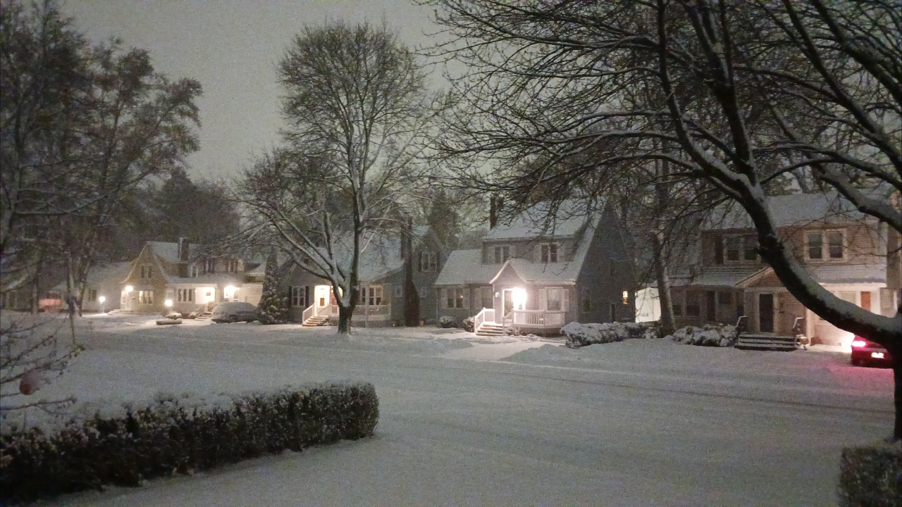
JANESVILLE — A winter storm warning is in effect through noon Saturday, with high wind and possibly 7 or more inches of snow on the way.
Schools are closed and snow emergency parking rules are in effect.
According to the National Weather Service, total snow accumulations could teach 7 to 12 inches.
Winds gusting as high as 35 mph could cause blowing and drifting snow.
WHERE: Portions of south central Wisconsin.
WHEN: From 3 a.m. Friday to noon Saturday.
IMPACTS: Travel could be very difficult. Blowing snow could significantly reduce visibility. The hazardous conditions will impact the morning and evening commutes.
Snow has been developing early this morning from south to north with many roads near and south of Interstate 90 reported to be slippery or snow-covered.
Winds will increase later today leading to blowing and drifting in open areas.
Travel will become hazardous for most of the region, potentially impossible where snowfall and winds are the highest.
Consider altering, delaying or even canceling travel plans if conditions warrant it.
Bitterly cold air arrives as this storm system exits the area with wind chills of 20 to 30 below by Saturday night.